- Professional Development
- Medicine & Nursing
- Arts & Crafts
- Health & Wellbeing
- Personal Development
21058 Certificate of Eligibility for Specialist Registration (CESR) courses
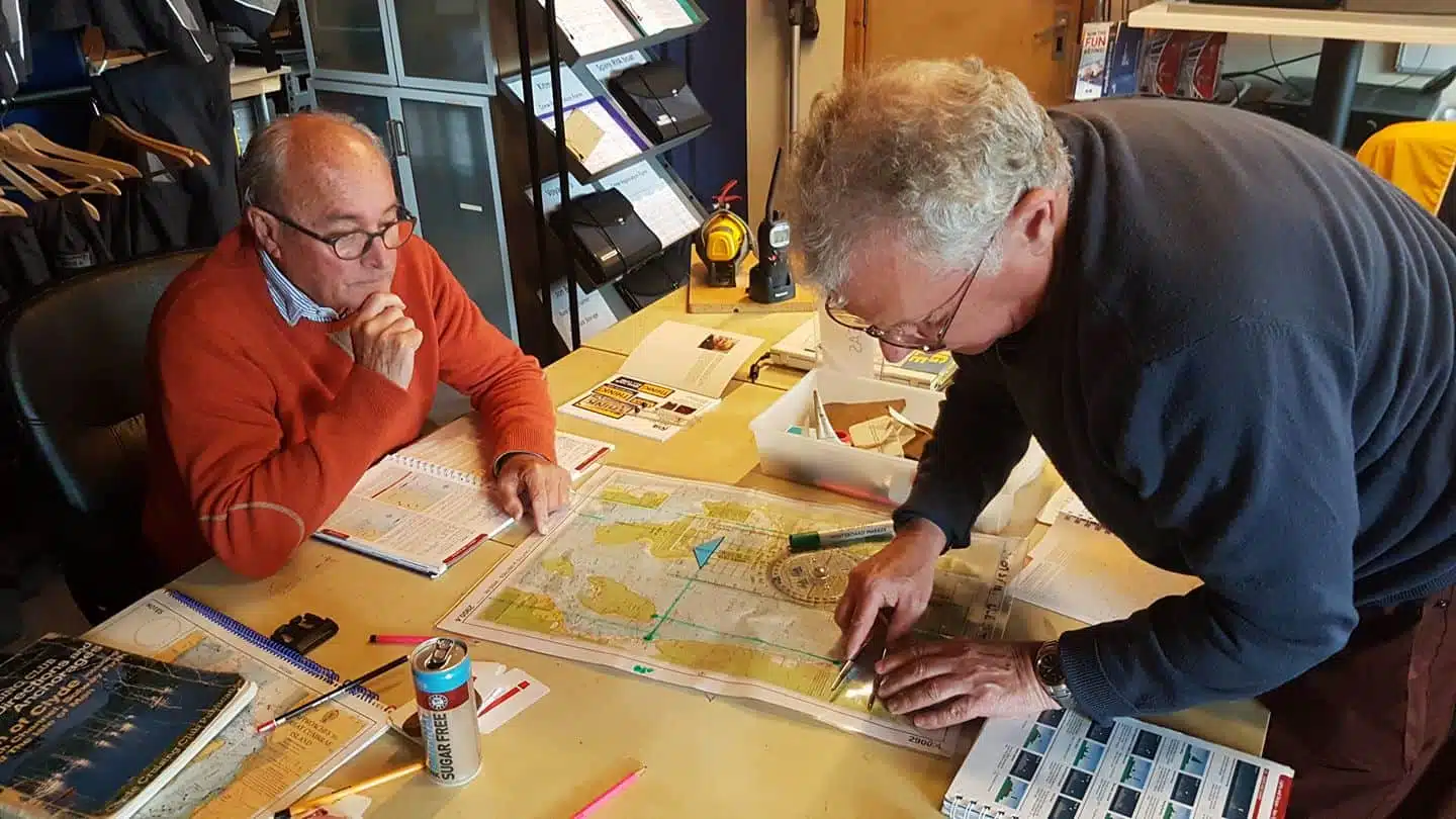
Unravel the mysteries of astro navigation, using a sextant, ocean passage making, worldwide meteorology and electronic navigation aids. This course is for those aspiring to blue water cruising and is ideal for holders of the Yachtmaster Offshore certificate who are preparing for their first ocean passage. Topics covered include: The earth and the celestial sphere Practical guide to use and care of sextant at sea Meridian altitudes Sun, star and other sights Ocean passage planning Prior to the course your navigation skills should be at the standard of the Coastal Skipper/Yachtmaster Offshore shorebased course. If you are working towards your Yachtmaster Ocean Certificate of Competence, completion of this shorebased course exempts you from the written exam. The course is taught over 40 hours with one exam paper. It can be covered as a series of short sessions, as an intensive week-long course, or by distance learning. Included in the price : 40 hours of tuition students pack prep. materials certification tea and coffee snacks
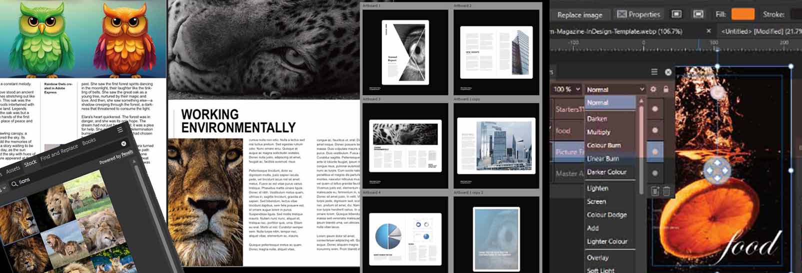
Affinity Publisher Training
By Greta Powell Training
Affinity Publisher Training Course for Beginners. Online Affinity Training with live instructors or face to face onsite. Learn to create and design layouts for flyers, brochures, newsletters, marketing documents and business stationery.
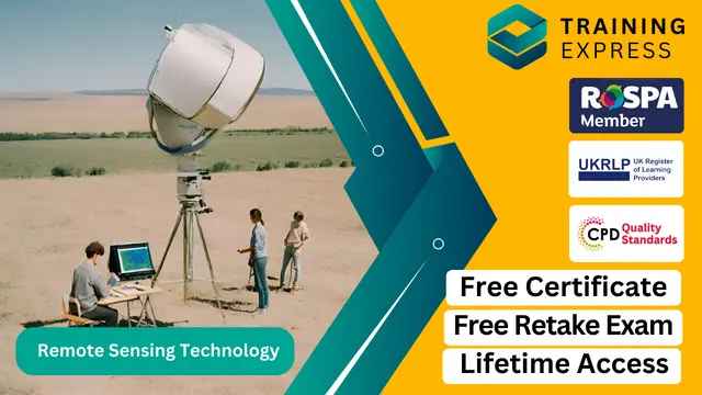
Remote sensing technology has transformed the way we perceive and analyse the Earth’s surface. With a broad range of applications from agriculture and environmental management to urban planning and climate research, this course introduces learners to the core concepts and techniques that underpin this fascinating field. Over the duration of this course, you’ll gain a solid foundation in remote sensing principles, satellite data interpretation, and various imaging systems that provide invaluable insights into our planet. The course is designed to equip you with the knowledge necessary to understand the growing significance of remote sensing in solving complex global challenges. Whether you're a student of environmental science, geography, or simply curious about the potential of remote sensing technology, this course will enhance your understanding of how we collect and process data remotely. By exploring the key technologies used in satellite imagery, radar systems, and the application of data for decision-making, you'll be poised to explore the wide range of industries that benefit from this technology. This course is an ideal starting point for those wishing to pursue further study or a career in geospatial technologies. Step into the world of remote sensing and uncover how these advanced systems can make a real impact on our world. Key Features CPD Accredited FREE PDF + Hardcopy certificate Fully online, interactive course Self-paced learning and laptop, tablet and smartphone-friendly 24/7 Learning Assistance Discounts on bulk purchases Course Curriculum Module 01: Introduction to Remote Sensing Module 02: Electromagnetic Spectrum and Remote Sensing Module 03: Platforms and Sensors Module 04: Image Interpretation Module 05: Remote Sensing Data Analysis Module 06: Applications of Remote Sensing in the UK Module 07: Future Trends in Remote Sensing Learning Outcomes: Master electromagnetic spectrum concepts crucial for remote sensing proficiency. Acquire knowledge of diverse platforms and sensors employed in the field. Develop expertise in interpreting intricate visual data from remote sensing. Hone skills in remote sensing data analysis tailored to the UK landscape. Explore applications spanning environmental monitoring to urban planning. Stay ahead by understanding the future trends shaping remote sensing technology. Accreditation This course is CPD Quality Standards (CPD QS) accredited, providing you with up-to-date skills and knowledge and helping you to become more competent and effective in your chosen field. Certificate After completing this course, you will get a FREE Digital Certificate from Training Express. CPD 10 CPD hours / points Accredited by CPD Quality Standards Who is this course for? Enthusiasts eager to explore remote sensing technology. Students aspiring to deepen their knowledge in earth observation. Professionals seeking to enhance their skill set in geospatial analysis. Government employees involved in environmental monitoring. Researchers interested in leveraging remote sensing for diverse studies. Urban planners aiming to integrate technology into city development. Geographers keen on applying remote sensing in their research. Anyone intrigued by the future possibilities of remote sensing technology. Career path Environmental Analyst GIS Specialist Satellite Data Analyst Urban Planner Remote Sensing Researcher Geospatial Consultant Certificates Digital certificate Digital certificate - Included Once you've successfully completed your course, you will immediately be sent a FREE digital certificate. Hard copy certificate Hard copy certificate - Included Also, you can have your FREE printed certificate delivered by post (shipping cost £3.99 in the UK). For all international addresses outside of the United Kingdom, the delivery fee for a hardcopy certificate will be only £10. Our certifications have no expiry dates, although we do recommend that you renew them every 12 months.
IMPORTANCE OF INTERNATIONAL DOCUMENTATION
By Export Unlocked Limited
This module aims to develop knowledge and understanding of the importance of customs documentation in the world of international trade to ensure both parties clearly understand the documentation that will be required in the import or export of goods or services.

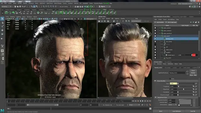
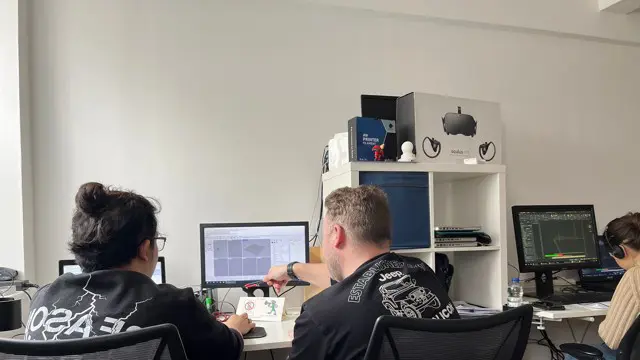
Autodesk 3ds Max Training One-to-One, Online or Face-to-Face Options
By Real Animation Works
Customized and Bespoke 3ds Max Training: Face-to-Face and Online Options

Interior Design Tutor one to one
By Real Animation Works
Interior design tutor one to one open 7 days 9 am to 9 pm
Unity 3D One-Day Course (One-to-One)
By Real Animation Works
Photoshop basic to fundamentals Training Course bespoke and customized
Adobe Photoshop Training course One to One Weekends
By Real Animation Works
Photoshop pay per hr training flexible time weekend evening
EINTAC Vehicle Fire Blanket Training
By EINTAC Ltd
This training course has been designed to give all staff the knowledge of how to safely use a Vehicle Fire Blanket in the event of a fire. Those who attend the course will be taught how to safely deploy the blanket, remove the blanket and clean up and re-pack the blanket for its next use. As part of the training, the attendees will also be shown and taught the best practices for handling the fire blanket including the necessary steps of a periodic check of the blanket. Another key aspect to the Vehicle Fire Blanket Training Course is educating people on the possible fire situations with electric and hybrid vehicles and how to identify potential fire issues and risks. The course will end with a survey of the customers site to identify the best location for the fire blanket(s) to be located and determine any signage and additional equipment which may be required.