Booking options
£12
£12
On-Demand course
1 hour
All levels
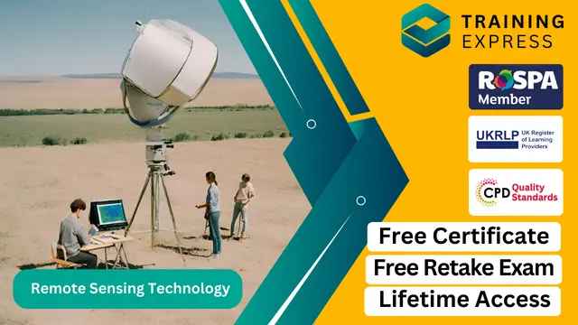
Remote sensing technology has transformed the way we perceive and analyse the Earth’s surface. With a broad range of applications from agriculture and environmental management to urban planning and climate research, this course introduces learners to the core concepts and techniques that underpin this fascinating field. Over the duration of this course, you’ll gain a solid foundation in remote sensing principles, satellite data interpretation, and various imaging systems that provide invaluable insights into our planet. The course is designed to equip you with the knowledge necessary to understand the growing significance of remote sensing in solving complex global challenges.
Whether you're a student of environmental science, geography, or simply curious about the potential of remote sensing technology, this course will enhance your understanding of how we collect and process data remotely. By exploring the key technologies used in satellite imagery, radar systems, and the application of data for decision-making, you'll be poised to explore the wide range of industries that benefit from this technology. This course is an ideal starting point for those wishing to pursue further study or a career in geospatial technologies. Step into the world of remote sensing and uncover how these advanced systems can make a real impact on our world.
Key Features
CPD Accredited
FREE PDF + Hardcopy certificate
Fully online, interactive course
Self-paced learning and laptop, tablet and smartphone-friendly
24/7 Learning Assistance
Discounts on bulk purchases
Course Curriculum
Module 01: Introduction to Remote Sensing
Module 02: Electromagnetic Spectrum and Remote Sensing
Module 03: Platforms and Sensors
Module 04: Image Interpretation
Module 05: Remote Sensing Data Analysis
Module 06: Applications of Remote Sensing in the UK
Module 07: Future Trends in Remote Sensing
Learning Outcomes:
Master electromagnetic spectrum concepts crucial for remote sensing proficiency.
Acquire knowledge of diverse platforms and sensors employed in the field.
Develop expertise in interpreting intricate visual data from remote sensing.
Hone skills in remote sensing data analysis tailored to the UK landscape.
Explore applications spanning environmental monitoring to urban planning.
Stay ahead by understanding the future trends shaping remote sensing technology.
Accreditation
This course is CPD Quality Standards (CPD QS) accredited, providing you with up-to-date skills and knowledge and helping you to become more competent and effective in your chosen field.
Certificate
After completing this course, you will get a FREE Digital Certificate from Training Express.
10 CPD hours / points Accredited by CPD Quality Standards
Enthusiasts eager to explore remote sensing technology.
Students aspiring to deepen their knowledge in earth observation.
Professionals seeking to enhance their skill set in geospatial analysis.
Government employees involved in environmental monitoring.
Researchers interested in leveraging remote sensing for diverse studies.
Urban planners aiming to integrate technology into city development.
Geographers keen on applying remote sensing in their research.
Anyone intrigued by the future possibilities of remote sensing technology.
Environmental Analyst
GIS Specialist
Satellite Data Analyst
Urban Planner
Remote Sensing Researcher
Geospatial Consultant
Digital certificate
Digital certificate - Included
Once you've successfully completed your course, you will immediately be sent a FREE digital certificate.
Hard copy certificate
Hard copy certificate - Included
Also, you can have your FREE printed certificate delivered by post (shipping cost £3.99 in the UK).
For all international addresses outside of the United Kingdom, the delivery fee for a hardcopy certificate will be only £10.
Our certifications have no expiry dates, although we do recommend that you renew them every 12 months.

About Us