Booking options
£10.99

£10.99
On-Demand course
1 hour 56 minutes
All levels
Embark on a transformative journey into the world of spatial analysis with our comprehensive Spatial Analysis in ArcGIS course. Master the art of extracting meaningful insights from geospatial data using the powerful ArcGIS platform.
Delve into the intricacies of point density analysis, exploring techniques for identifying and analyzing patterns in point data distribution. Discover how to utilize raster calculator and vector isolation to manipulate and isolate raster and vector data for further analysis.
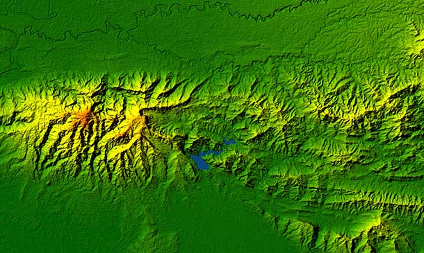
Explore the concept of raster to topography conversion, learning how to transform raster data into elevation models and analyze terrain patterns. Uncover the secrets of raster reclassification, mastering techniques for reclassifying raster data to create thematic maps and enhance data visualization.
Learning Outcomes
Gain a comprehensive understanding of spatial analysis concepts and techniques
Master the application of point density analysis to identify and interpret patterns in point data distribution
Utilize raster calculator and vector isolation to manipulate and isolate raster and vector data for advanced analysis
Perform raster to topography conversion to create elevation models and analyze terrain patterns
Implement raster reclassification techniques to reclassify raster data, create thematic maps, and enhance data visualization
Leverage ArcGIS tools to conduct spatial analysis effectively
Apply spatial analysis techniques to solve real-world problems and make informed decisions
Unlimited access to the course for a lifetime.
Opportunity to earn a certificate accredited by the CPD Quality Standards and CIQ after completing this course.
Structured lesson planning in line with industry standards.
Immerse yourself in innovative and captivating course materials and activities.
Assessments designed to evaluate advanced cognitive abilities and skill proficiency.
Flexibility to complete the Course at your own pace, on your own schedule.
Receive full tutor support throughout the week, from Monday to Friday, to enhance your learning experience.
Unlock career resources for CV improvement, interview readiness, and job success.
GIS professionals seeking to enhance their spatial analysis skills and knowledge
Individuals interested in learning how to extract meaningful insights from geospatial data
Urban planners, geographers, environmental scientists, and researchers working with spatial data
Anyone seeking to advance their career in the field of GIS and spatial analysis
Those seeking to utilize ArcGIS for spatial analysis and problem-solving
GIS Analyst (£25,000 - £45,000)
GIS Specialist (£30,000 - £50,000)
GIS Manager (£40,000 - £60,000)
Senior GIS Analyst (£45,000 - £65,000)
Spatial Data Scientist (£50,000 - £70,000)
GIS Consultant (£50,000 - £70,000)
This Spatial Analysis in ArcGIS does not require you to have any prior qualifications or experience. You can just enrol and start learning.This Spatial Analysis in ArcGIS was made by professionals and it is compatible with all PC's, Mac's, tablets and smartphones. You will be able to access the course from anywhere at any time as long as you have a good enough internet connection.
After studying the course materials, there will be a written assignment test which you can take at the end of the course. After successfully passing the test you will be able to claim the pdf certificate for £4.99 Original Hard Copy certificates need to be ordered at an additional cost of £8.
Module 01: Point Density Analysis | |||
Point Density Analysis | 00:10:00 | ||
Module 02: Raster Calculator and Vector Isolation | |||
Raster Calculator and Vector Isolation | 00:12:00 | ||
Module 03: Raster to Topography | |||
Raster to Topography | 00:12:00 | ||
Module 04: Raster Reclassification | |||
Raster Reclassification | 00:14:00 | ||
Module 05: Raster Overlay | |||
Raster Overlay | 00:13:00 | ||
Module 06: Slope Analysis and Hydrology tools | |||
Raster Overlay | 00:11:00 | ||
Module 07: Introduction to TIFF Files | |||
Raster Overlay | 00:12:00 | ||
Module 08: Introduction to 3D Surfaces | |||
Introduction to 3D Surfaces | 00:12:00 | ||
Module 09: Satellite Images and TIN Surfaces | |||
Satellite Images and TIN Surfaces | 00:12:00 | ||
Module 10: Exercise | |||
Exercise | 00:08:00 | ||
Assignment | |||
Assignment - Spatial Analysis in ArcGIS | 00:00:00 | ||
Resources | |||
Resources - Spatial Analysis in ArcGIS | 00:00:00 |

Studyhub is a premier online learning platform which aims to help individuals worldwide to realise their educational dreams. For 5 years, we have been dedicated...